Post card images
Click on photo to enlarge


Adamsville pond and Gray's mills


|
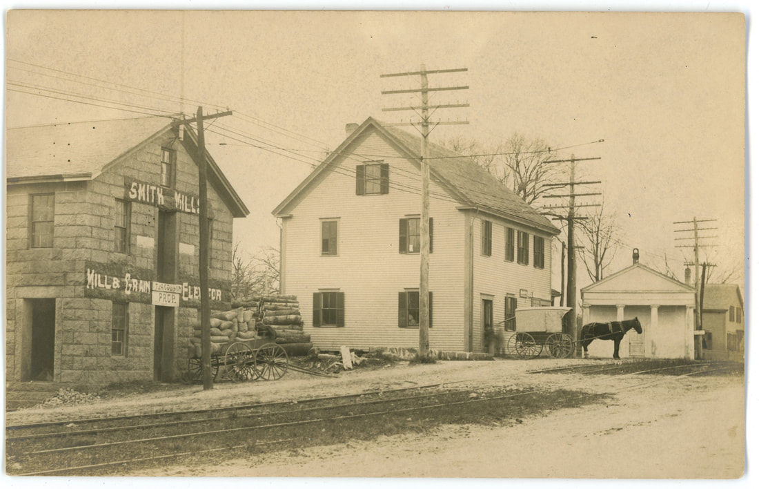
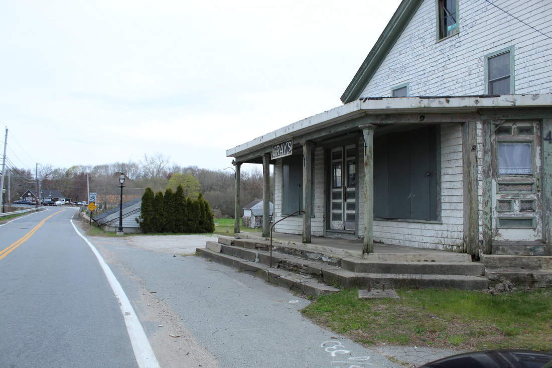
Unidentified photo is east side of Adamsville mill pond, looking north. Jimmy Gray's ice house is first building on right. Second building on right is Gray's grist mill. Third building on right is storage for mill.
Fourth building on right is blacksmith shop (part of this is now Brayton's Garage). Fifth building on right is Gideon Gifford's carriage shop. In between the blacksmith shop and the storage building you can see in the background the George Kirby house (later St Vincent de Paul administration building, now WLCT headquarters) on the north side of Adamsville Road around the corner. Richard Gifford, local historian |
As for dates, DuBois negatives typically date from around 1900 on, but this card with its relatively high number is typical of cards he printed around, say, 1907-1912.
We have Howland cards printed from negatives dating back to the 1890s and onward - he overlapped with DuBois but started earlier - but all we know for sure about this card is it was printed 1909 or earlier. If the Gifford carriage shop was indeed torn down or burned down perhaps we could date the Howland card more precisely from that event, if known. David, card owner. |
|
|
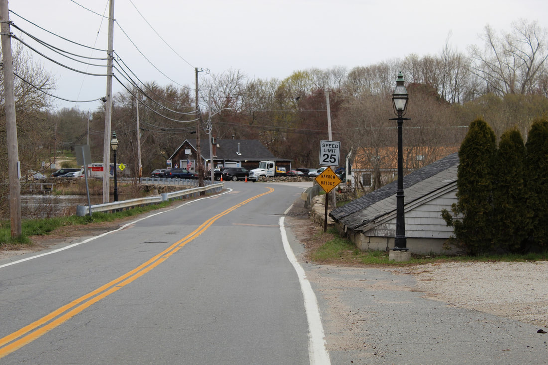
2020 matching photo of 176 Howland above House today in distance on photo 176 Howland
See Richard Gifford's comment above left
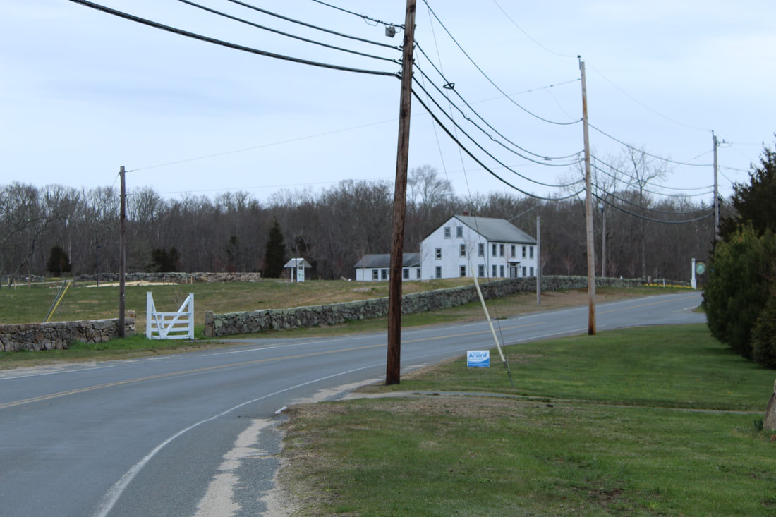
See Richard Gifford's comment above left
|
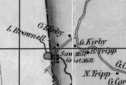
from 1852 Map
|
"The earliest mill in Westport was established at Adamsville before 1700 by Philip Taber. In 1759 there was a grist and saw mill, and the same are still in operation. Among the modern
owners are Isaac Washburn, John Church and Philip Gray Jr. The last Taber who owned the property left it to his grandson, Philip Davis, who sold it in 1799 to Stephen Crandall and it
then passed out of possession of the Taber family. Before that date, for a century the village had been known as Taber’s Mills, and soon after 1800 it was given its present name of Adamsville." (1915; Worth, ODHS #41)
Robert E. Harding, president DHAS